Intelligent Road Inspection System
IRIS
A live pothole-detection pipeline that turns a dashcam feed into a municipal review workflow — from first detection to an approved repair report.
0%
Detection Accuracy
0
Training Images
< 0s
Response Time
The problem
Road damage in India is inspected manually — slow, inconsistent, and reactive. IRIS was built to make detection continuous and evidence-based instead.
Architecture
A YOLOv8 detection engine reads a live camera stream, deduplicates and classifies severity, then routes high-severity events through snapshot capture, optional GPS tagging, and optional Gemini analysis into SQLite (with optional Firestore sync). A municipal dashboard reviews, approves or declines, and generates the final report.
Hard parts
Early builds produced duplicate detections and race conditions in the review flow; these were resolved with a deduplication layer and stricter session-state handling. A biometric face-login module was built and hardened (multi-frame capture, median-distance voting) but is currently disconnected pending a broader security review.
Where it landed
Per IRIS's own benchmark documentation: 94.3% detection accuracy against 17,497 training images, sub-1-second response time, and a 5.7% false-positive rate — measured against a manual baseline of 60–80% accuracy and 10–30 minute response times. Currently drafting a research paper detailing the model architecture, published as a pre-print on Zenodo.
Built with
Python · Flask · Flask-SocketIO · YOLOv8 · OpenCV · SQLite · Leaflet · Firebase
In use
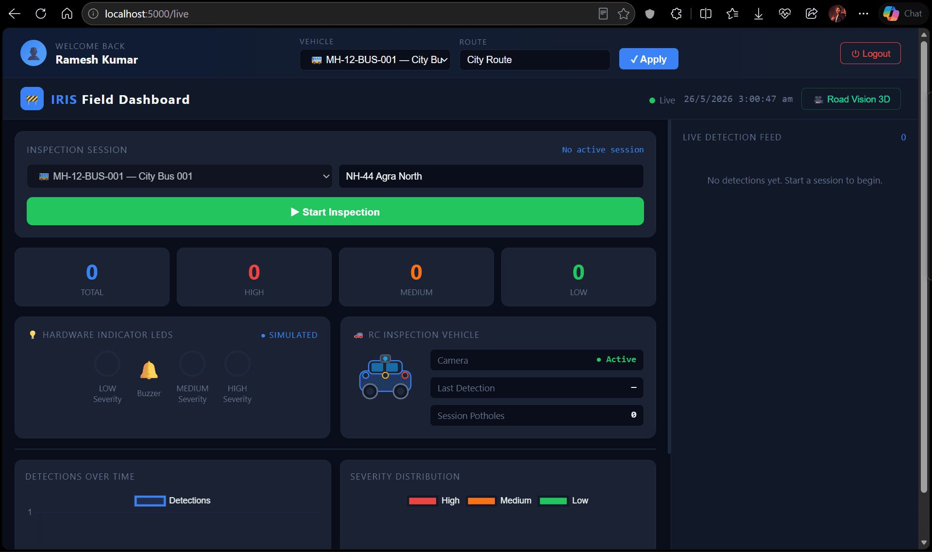
Field Dashboard — live inspection session, hardware status, detection counts by severity
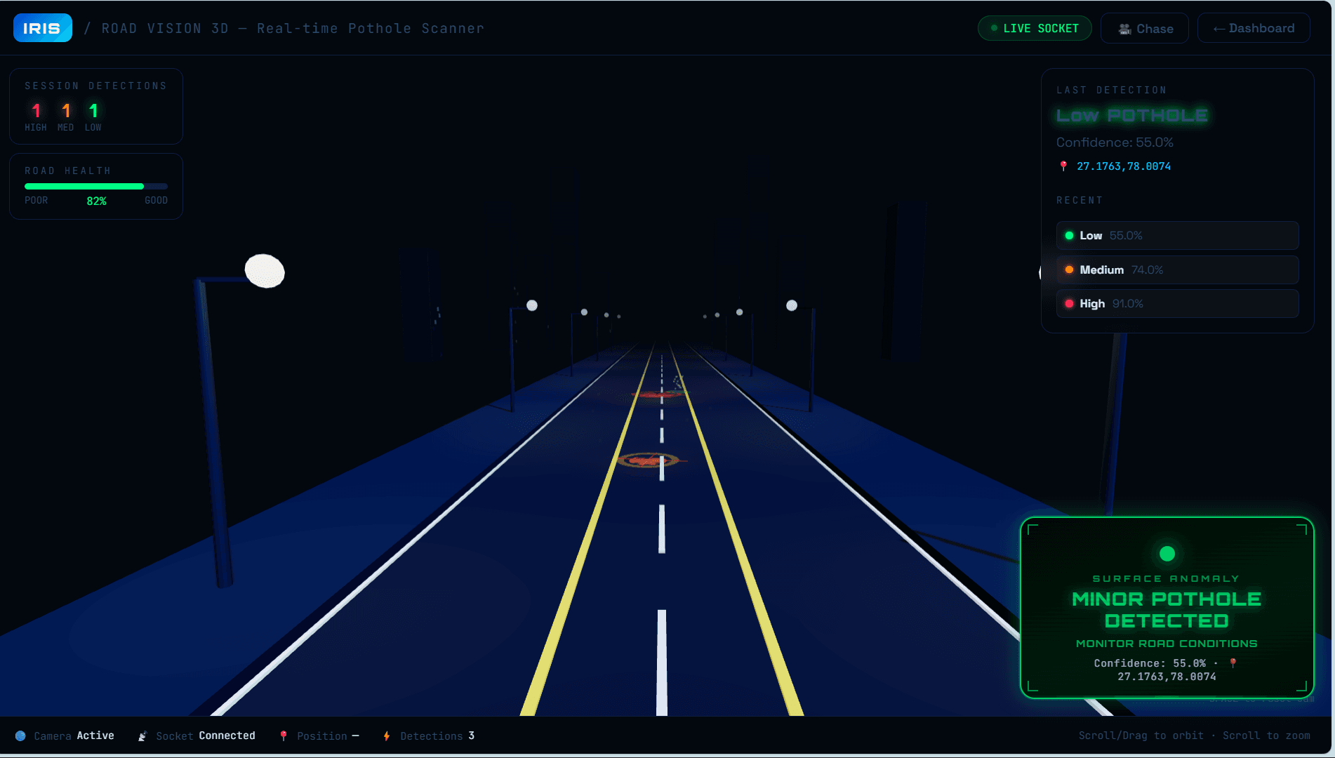
Road Vision 3D — real-time pothole scanner with live confidence scoring and geotagging